Tryggvi Stefansson
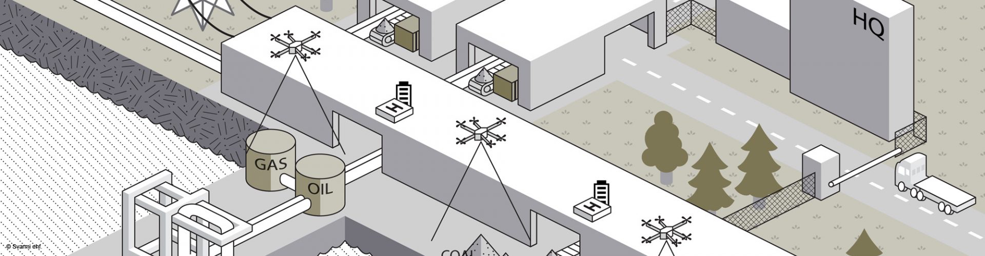
In the future, everyone will be able to request highresolution aerial maps and 3D models of the area they define at the push of a button. With Myriad, a new generation of satellites has arrived that consists of a fleet of drones that can fly in swarms and map large areas like cities in near-real-time or on demand.
This solution is similar to Google Earth because it will be open to everyone. The only difference is that the resolution of the imagery and 3D models will be more than 400 times better and available in near-real time (i.e. with only a few minutes delay). Svarmi will fully manage this fleet of drones and sell data through one-time purchases and subscriptions. The main barriers to making this happen are drone operation and privacy regulations, which are not ready for the use of such drones today. Therefore, Svarmi is focusing on closed industrial areas to start integrating this technology into their workflow and greatly enhance the information flow to their operators. This data will thus make their areas safer, more sustainable, and more efficient overall. This allows for extensive testing of the technology, which will prepare it for integration once the regulation barriers are removed.