
Dr. Joost den Haan, Raja Kandukuri, MSc, Guy Rigot, MSc, Dr. Hannah Brocke, Nils Oehlmann, MSc
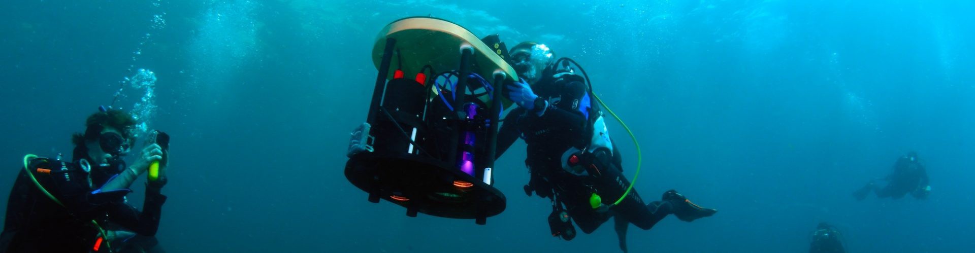
While Earth’s atmosphere and ground surfaces are well monitored by satellites, there are no satellites in its oceans. PlanBlue has developed intelligent software linked to a specific underwater (hyperspectral) camera that facilitates accurate mapping of the seafloor. The high-quality data it produces can be used to explore the unknown 95% of the oceans whilst improving both conservation and industrial activities.
Customer benefits
In comparison to traditional monitoring, PlanBlue’s technology is faster, more accurate, geo-referenced, and up to 75% cheaper. Its seafloor maps feature interactive color-coding and can be interpreted by anyone, from policymakers to the general public.