
Robert Sasak, Lars Pesch, Anders Sagevik, Peter Morihladko, Elin Manger Rørosgaar
The winning solution equips volunteers from the Norwegian Red Cross Search and Rescue Corps not only with information on their rescue mission but also with a personalized link, which activates the Norgeskart app on the volunteer’s phone and sends the GPS location in the background. This allows the Mission Leader to see on a map where the available volunteers are located and therefore save lifes.
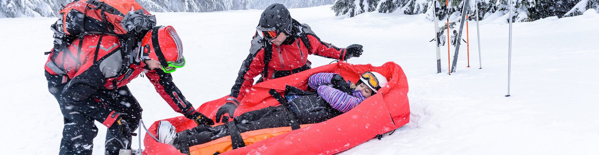
The Norwegian Red Cross Search and Rescue Corps is the country’s largest voluntary rescue organisation and a part of the Norwegian Red Cross. It has more than 5000 active and trained members who assist in Search And Rescue (SAR) missions in the mountains, at sea and in urban areas. The Search and Rescue Corps has procedures in place to coordinate volunteers when a mission starts, however the handling of location-based information and GPS tracks often relies on manual steps, leading to loss of time in critical situations.
Customer benefits
Norgeskart develops location-tracking functions for the Norwegian Red Cross Search and Rescue Corps. The solution proposed here will dramatically reduce the time required to keep track of all the volunteers involved in search-and-rescue missions, which can save lives.