
Filippo Iodice
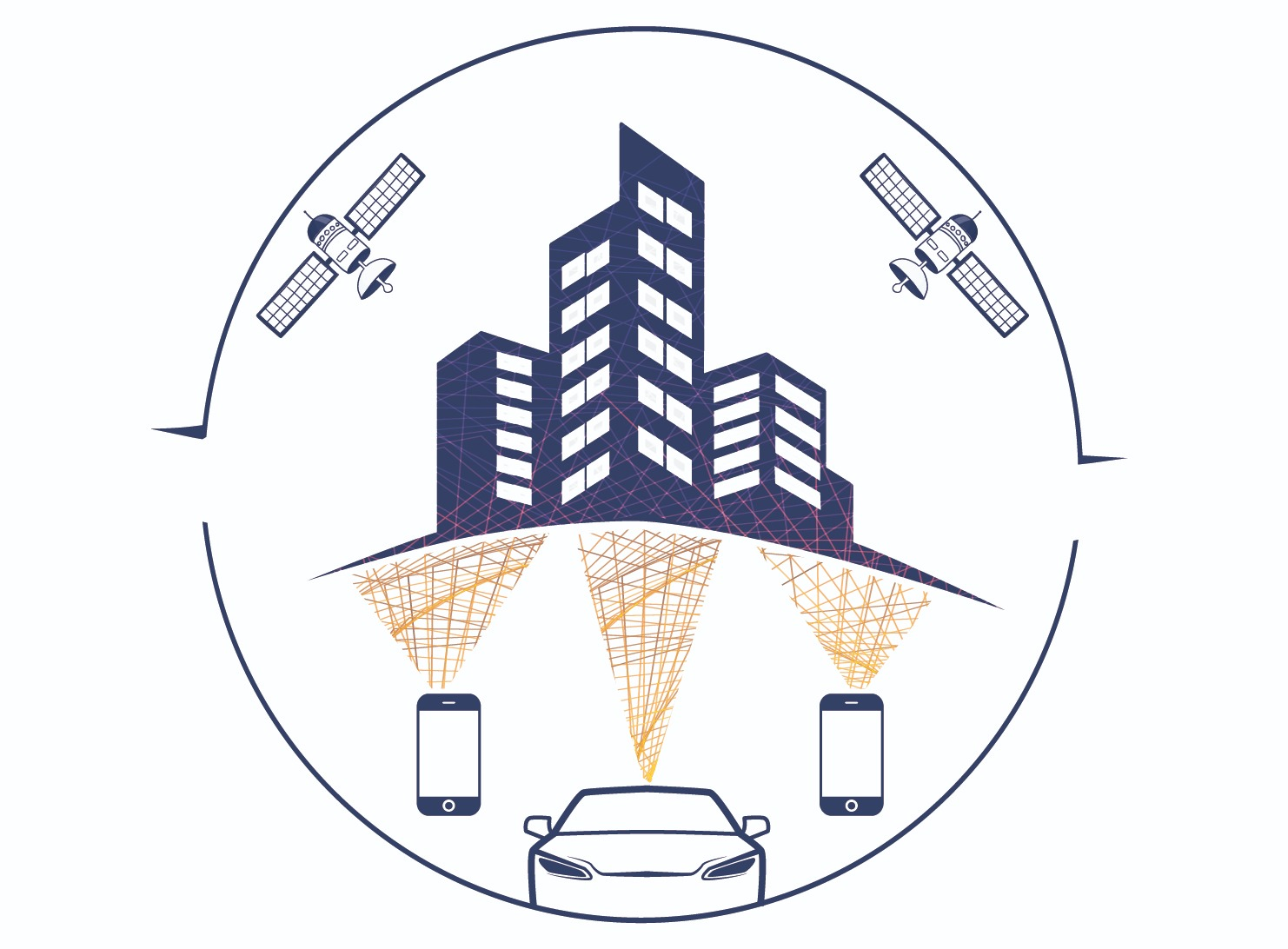
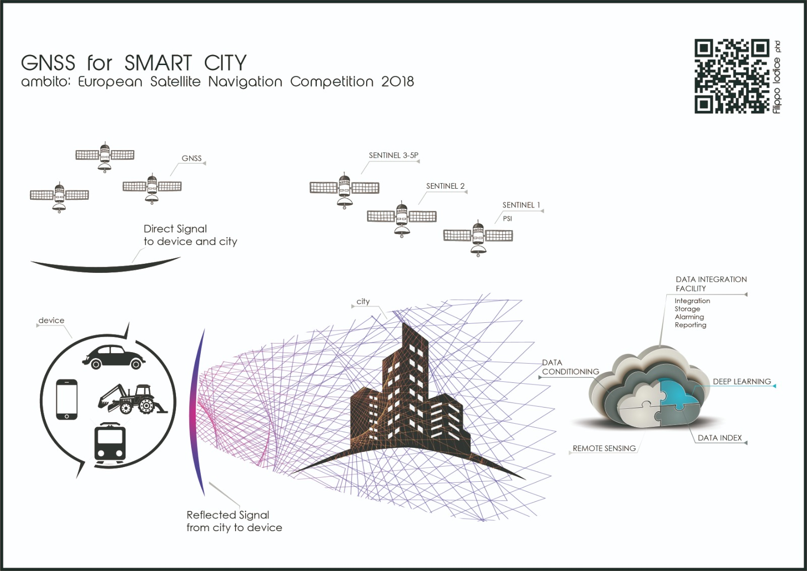
This project applies GNSS signals not only for positioning, but as a passive remote-sensing tool that uses the antennas present in all our cities as hotspots.
Using Copernicus mission data, it will be possible to rebuild a city from different angles. Signal data will be obtained from cellular devices and automatically guided machines. Every single user will be guaranteed information at any time of the day and in any area of the world.
Thanks to the use of machine learning, deep learning, and neural networks, the project will do nothing less than create a sort of virtual world that can perceive any change in the real world.
GNSS satellites are constantly broadcasting radio signals to earth, and part of these signals are reflected back from the earth’s surface. The delay in the reflected GNSS reflected signals on the differential paths between direct and reflected signals will provide topographical information.
Customer benefits
Potential customers will be in segments of the local, state, regional, and national marketplace. GNSS will be used for different applications covering different sectors (agriculture, search and rescue) and markets (open service) depending on user needs.