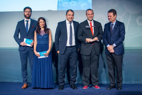
Dr Stratos Stylianidis
The LARA system promises to provide field workers with the ability to “see underground”. It combines GNSS, 3D GIS and geospatial databases, and Augmented Reality in order to render complex 3D models of underground water, gas, sewage and electricity grids. LARA is equipped with a highprecision, low-power, highly autonomous GNSS receiver module capable of achieving centimetrelevel accuracy. Consisting of a GNSS module and an IMU module, this receiver is compatible with multiple constellations (including Galileo and EGNOS), but Galileo is key to improving its accuracy, availability, and integrity. The LARA system will enable utility companies to localise their key underground assets thanks to these benefits:
› Facilitates far more precise maintenance operations on underground infrastructure without affecting adjacent underground grids
› Precise interventions also reduce overall maintenance costs
› Minimises economic and social implications of lengthy surface works
The LARA system is ideal for utility companies; engineering, construction and maintenance firms; and grid owners and operators.
Contact:
stratos@geoimaging.com.cy
www.geoimaging.com.cy
The Expertise:
«LARA project is developing a hand-held, low cost, mobile device integrating state-of-the-art technologies in the domain of positioning and sensors (GNSS), Augmented Reality (AR) and 3D GIS geo-databases. The system will guide utility field workers by helping them ‘see’ beneath the ground, rendering the complexity of the 3D models of the underground grid such as water, gas and electricity.»
Carlos Romero
ESA BIC Madrid Region Manager, Fundación madri+d


